How Do I Know Which Bus/Train to Take?
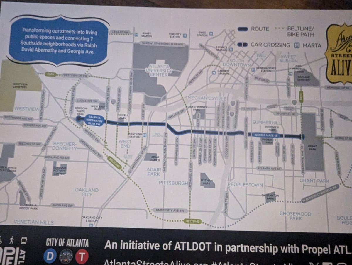
The Simple Answer
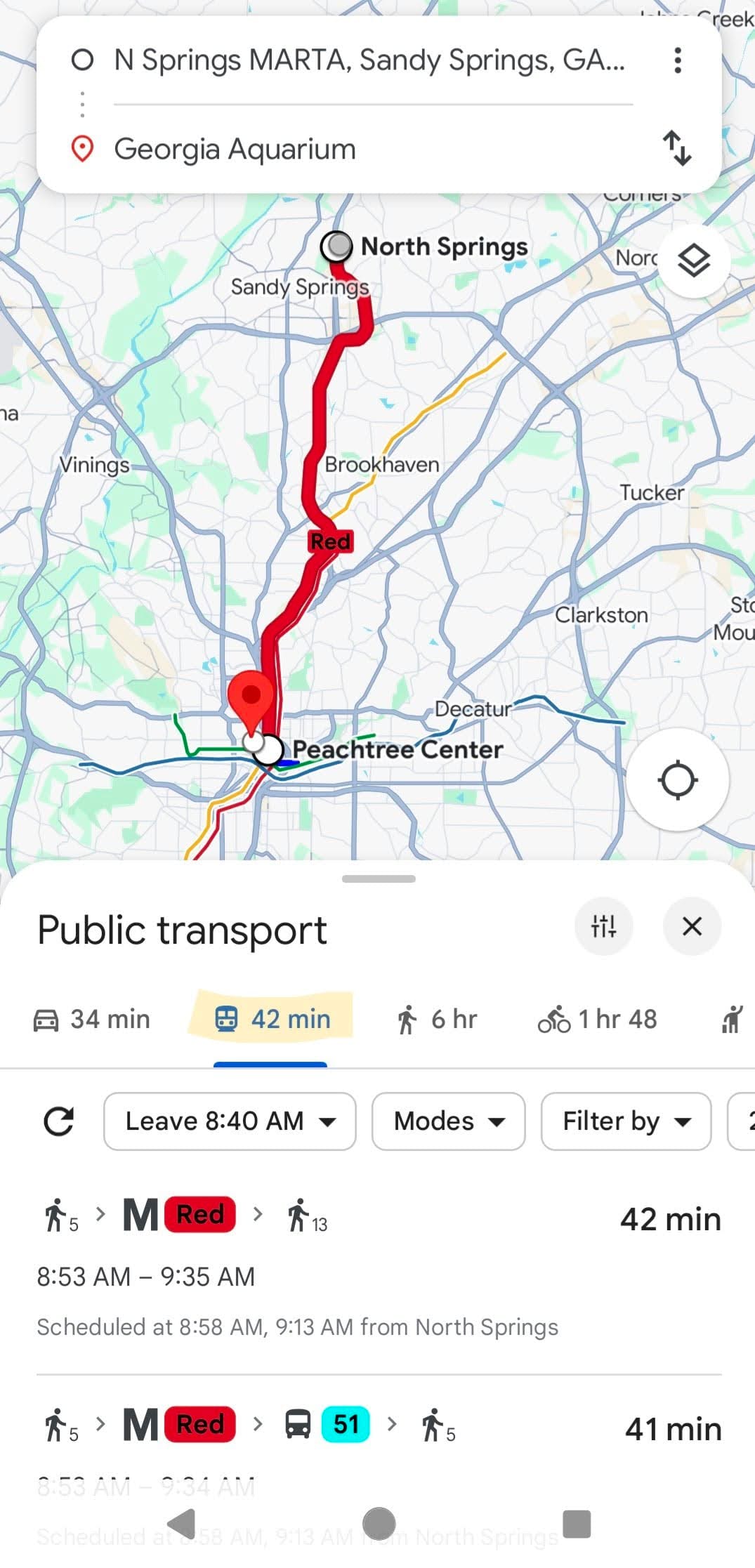
Google Maps can show you transit options for getting to your destination. Just click the "Public transport" tab when you pull up directions.
The More Complicated Answer
There are lots of apps out there to help you figure out how to get places.
- Apple Maps can show directions via public transportation.
- Transit App is a navigation app dedicated to public transportation. It's our go-to navigation tool.
- MARTA On the Go can not only show you what MARTA resources to take, but it also shows schedules, lines, and real-time status of buses.
- ATL Rides shows not only MARTA buses and trains but also surrounding agencies like Ride Gwinnett or CobbLinc.
Of course, there's always a paper map at each train station. The last time we looked at one of those, it was from 2019. 😦
The Details
The big two maps (Google and Apple) will do fine 90% of the time. If you only ride every once in a while, then just use those.
We like Transit App because it covers so 691 cities in 23 countries. It also uses data from each user to track trains and buses, so it might be more accurate. That accuracy is probably only useful for people who use transit all the time. We're willing to wait 10 minutes for a bus; some people aren't.
MARTA On the Go isn't really a good "how do I get there?" tool. It's great for getting information about a bus route or seeing what trains will show up next at a particular station.
Most (maybe all?) of these apps include options for walking, taking an Uber, or using a bike share. All can be configured to only show certain modes if needed.
Accessibility options are also available. Transit App has options to show accessible trips first. Google Maps has options to only show wheelchair accessible routes. The others surely have the same options.
Some Reading
Transit App website
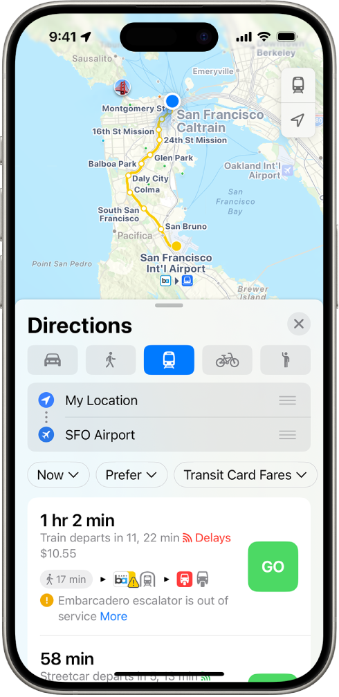
Directions for using public transportation in Apple Maps

MARTA On the Go app
ATL Rides app

MARTA Interactive Train & Bus Map


